The West Highland Way runs 96 miles from Milngavie, just north of Glasgow, to Fort William, tracing old drove roads, military roads and disused railway lines along Loch Lomond and through Glen Coe. It's the route that launched Scotland's long-distance path network in 1980 and remains the busiest, with a well-worn but spectacular path and plenty of accommodation en route.
Route map
Terrain
A mix of forest track, old drovers' roads and open moorland, with one sustained climb over the Devil's Staircase near Kinlochleven. Underfoot conditions are generally good and well-maintained, though the Loch Lomond section has some rocky, root-strewn stretches. Waymarked throughout with the thistle-in-a-hexagon symbol.
Tips
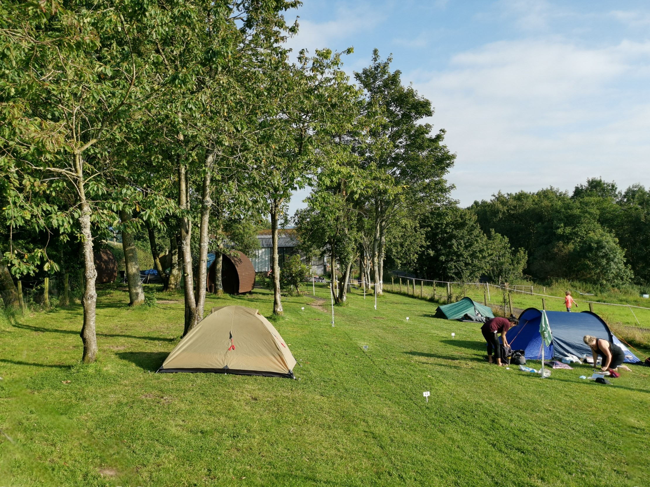
Book accommodation well ahead in July and August — this is Scotland's most popular trail and beds fill fast. Midges can be fierce from June to August, especially near Loch Lomond; pack repellent. Luggage transfer services operate along the whole route if you'd rather walk unencumbered.
Permits & access
No permits required — access is under Scotland's right to roam (Scottish Outdoor Access Code).